A 2-day trip to Raisko Praskalo, the tallest waterfall in Bulgaria

An amazing 2-day hike through Stara Planina in challenging conditions.
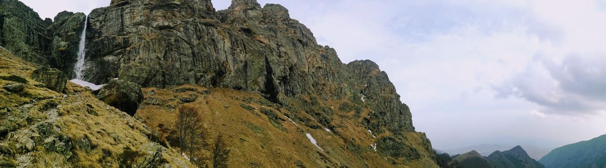
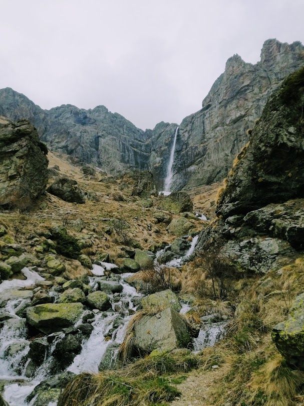
With a height of 124.5 meters, Raisko Praskalo is the tallest waterfall in Bulgaria. It is located in the Central Balkan National Park, right under the Botev Peak (2376 m) – the highest peak in the Balkan Mountains.
At the beginning of April I traveled from Sofia to Kalofer, with the main reason: to see the Raisko Praskalo waterfall in all its beauty.
The Balkan Mountains (or Stara Planina) are my favorite mountain range in Bulgaria and it’s for a good reason. The trail to Raisko Praskalo will reward you with amazing views, free roaming horses and beautiful waterfalls.
I started the hike from the town of Kalofer and reached the Rai Hut after 5 hours, where I spent the night. On the afternoon I walked to Raisko Praskalo waterfall which is only 20 minutes away from Rai Hut. On the next day I hiked to Vasil Levski Hut, took a short break and continued my way to the town of Karlovo.
Details about the trail to Raisko Praskalo
- Trailhead: Kalofer (town) / White River Ecotrail / Kalofer bungalows
- Lenght: 39 km
- Duration: 2 days
- Difficulty: moderate
- Trail markings: green stripe, blue stripe
- Distance from Sofia: 155 km (3h) by train
- Accommodation: Rai Hut or Vasil Levski Hut
- Day 1: Kalofer – Rai Hut (16.5 km / 5-6 hours)
- Day 2: Rai Hut – Vasil Levski Hut – Karlovo (22.5 km / 8-9 hours)
How to get to Raisko Praskalo
The closest town to the Raisko Praskalo waterfall is Kalofer, which is 11 km away.
By car
- Sofia: 2.5 hours
- Plovdiv: 1 hour
- Veliko Tarnovo: 2 hours
Parking is possible inside the town, at the entrance of the White River Eco Trail or at the Kalofer Bungalows depending on the trail you choose to take.
By train
There is a train leaving from Sofia to Kalofer at 7:00 AM from the Central Railway Station. The train schedule can be found here.
This is the best public transport option as the journey takes about 3 hours with the “fast” train. The ticket is quite cheap, around 7 BGN.
The Kalofer train station is located outside of the town itself (3 km away), but there is a minibus that takes you to the town for 0.80 BGN. It leaves right after the train arrives.
Difficulty
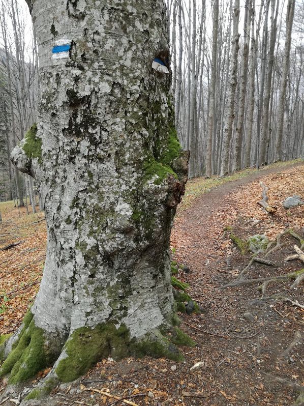
The hike is of easy to moderate difficulty. The route I took the last time begins at White River Eco trail, which is marked with green stripes and it’s an easy, well kept trail. It joins the blue stripe trail that starts at Kalofer Bungalows and leads through the mountains to Karlovo.
Even though the weather is quite warm in April, most of the trail from the second day (Rai Hut to Vasil Levski Hut to Karlovo) was covered in snow.
Map, trail profile and GPS track
The trail is visible and marked with blue stripe on hikebikemap.org
Equipment
You will need good hiking boots, wind jacket, sunglasses and sunscreen. Food and water for the day, but the huts offer food and drinks.
If you are planning to do this between October and May: bring waterproof hiking boots, gaiters, crampons and an ice axe as the second part of the trail is covered in snow and not many people embark on the journey at that time of the year.
Day 1 – From Kalofer to Rai Hut and Raisko Praskalo
Getting to the trailhead
The minibus from the Kalofer train station stops at the center of the town. There’s a small market here, so you can buy some last-minute food for the trip.
There are multiple trails to choose from, but this time I chose the one that starts with the White River Eco Trail. A 6 km long asphalt road leads to it from the town.
Following the White River and crossing the plains
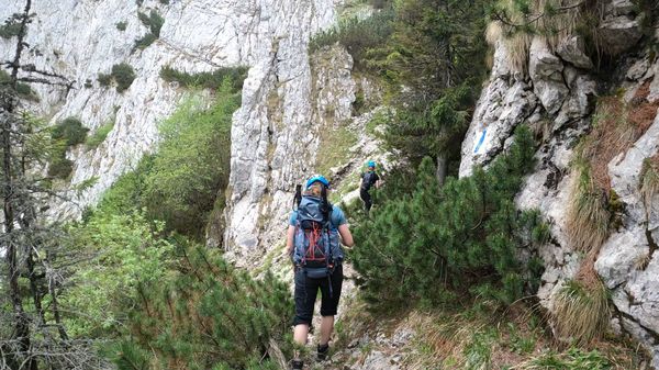
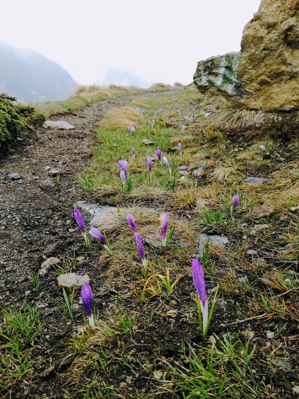
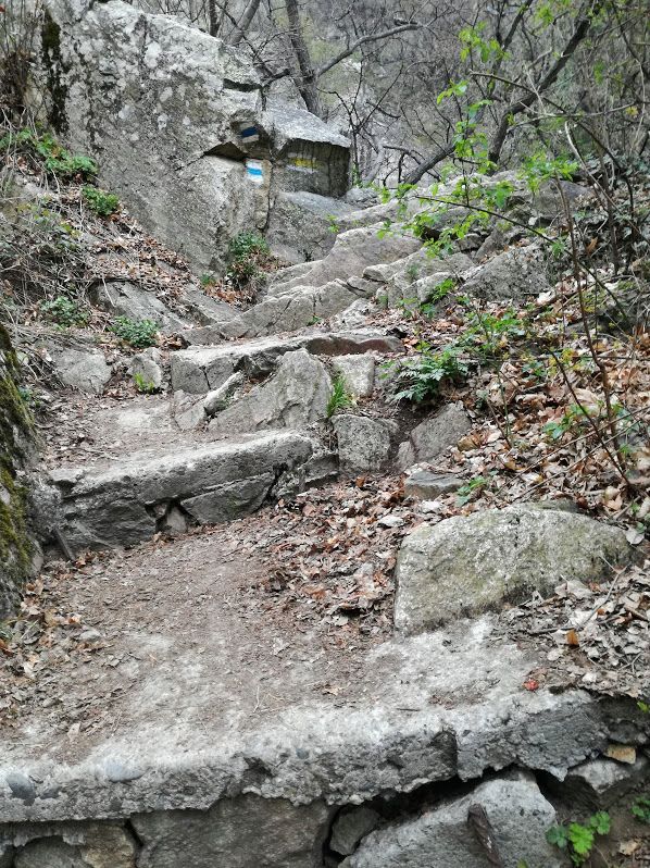
The Eco Trail offers some spectacular waterfalls and a very easy walk. It is built around and over the White River. There are some boards scattered around the eco trail that provide information about the flora and fauna of the area. The trail itself leads up to the plains above the forest line and it’s nicely marked with green stripe.
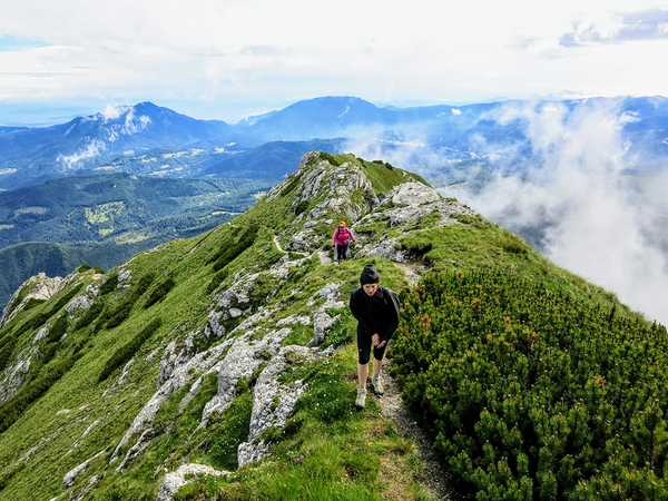
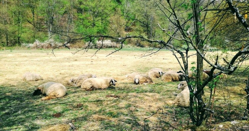
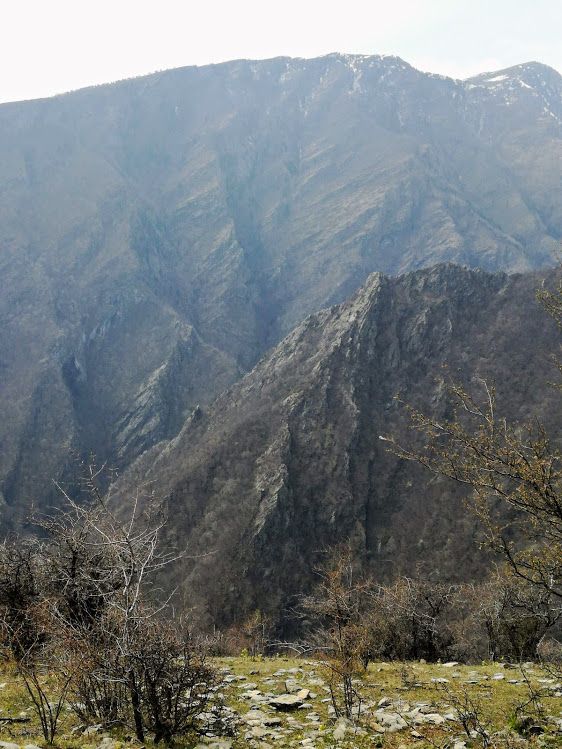
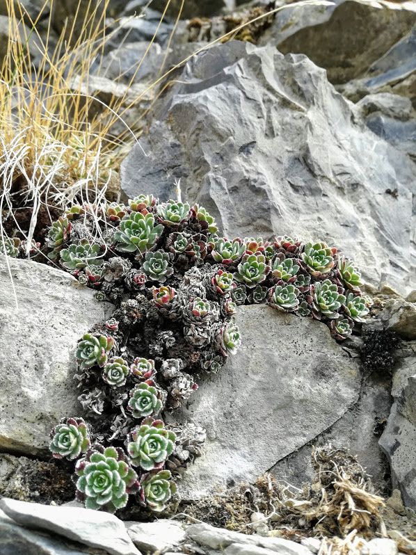
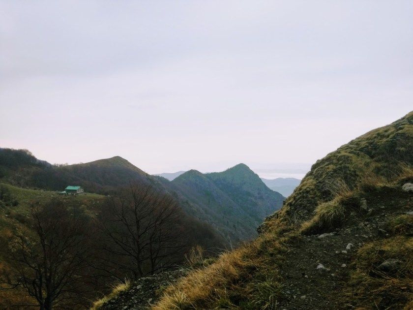
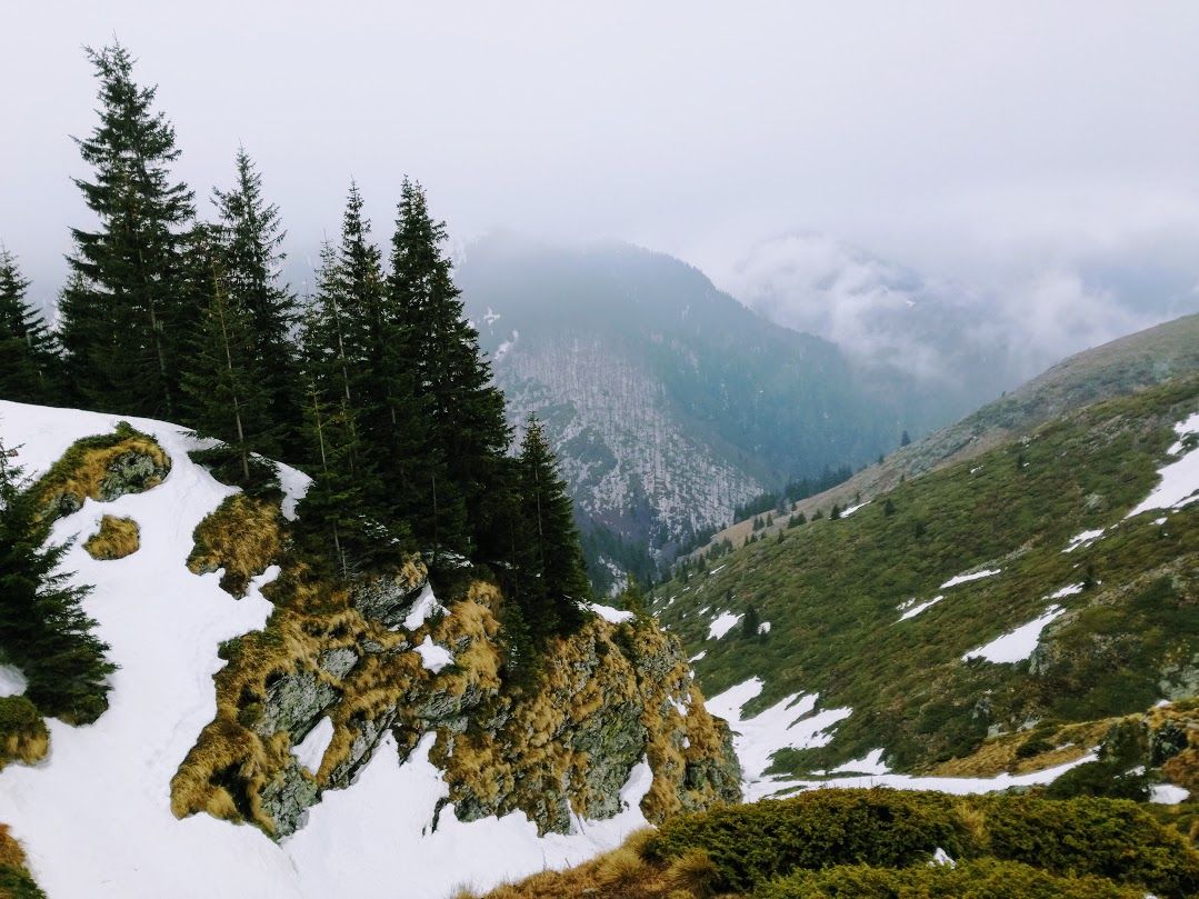
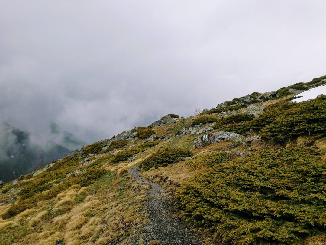
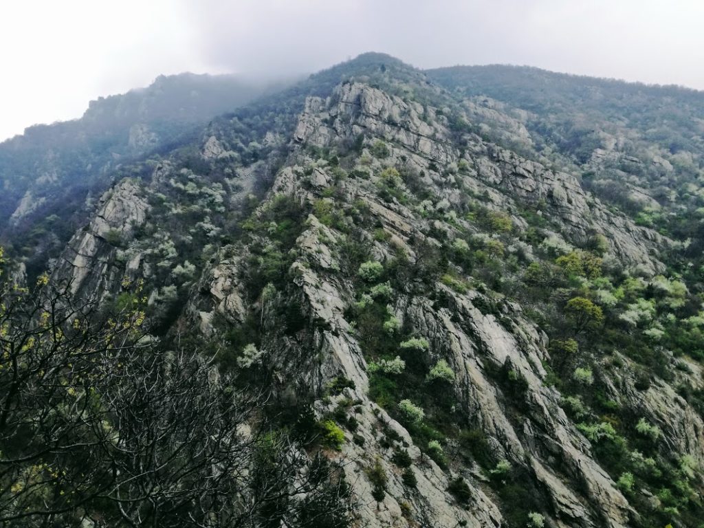
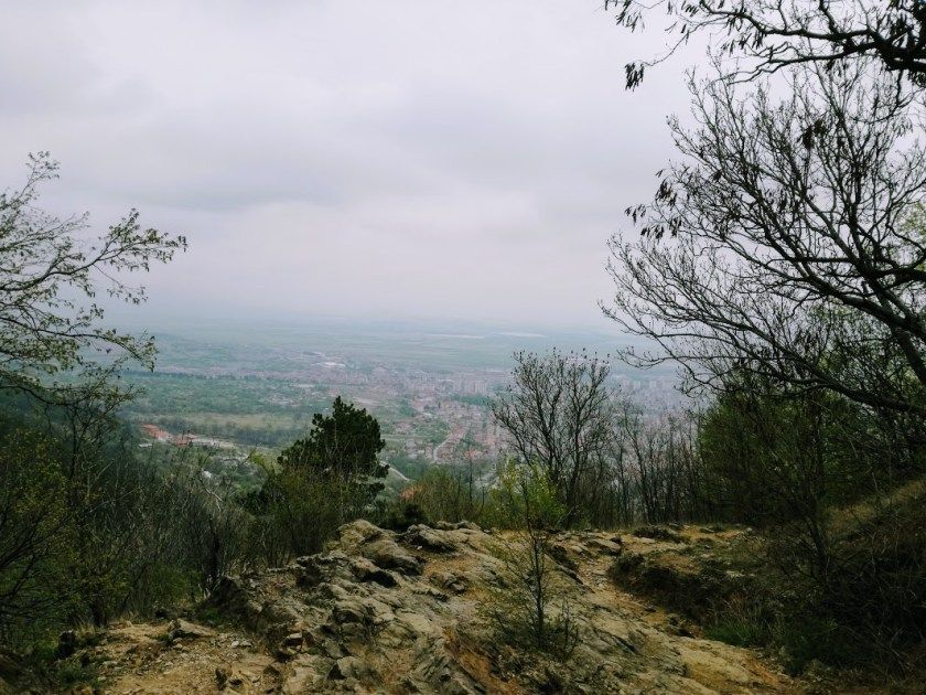
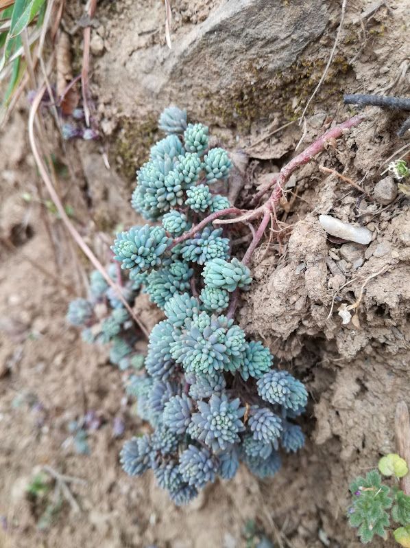
Once you are above the forest line, the view is just amazing. Beautiful landscapes, semi-wild horses and a slice of the distinct flora of the Balkan Mountains.
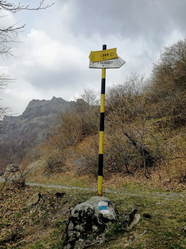
There are multiple small roads but they all lead to the same place at one point so you can’t really get lost here. The trail itself is marked with blue stripe from here on.
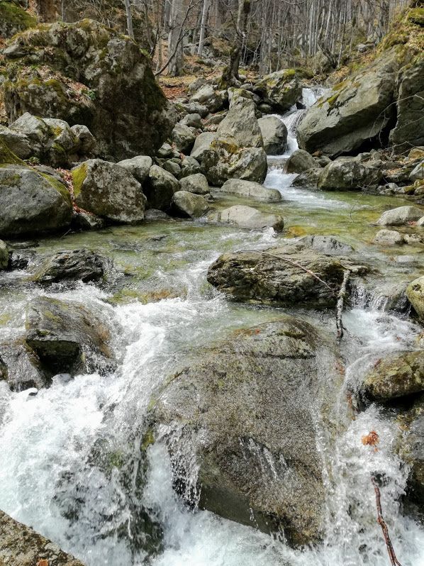
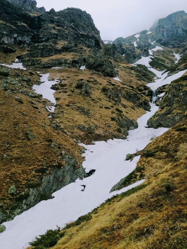
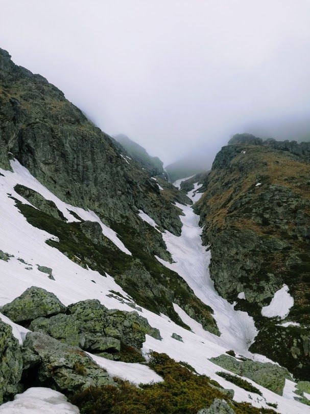
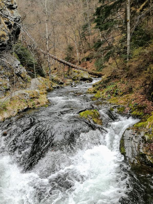
A few kilometers later the path leads downhill to a river. There is only one path here, with a few springs to get delicious water from, but it also means that some parts of the trail are going through water, so make sure you have the right shoes. At the bottom of the gorge the river with beautiful waterfalls awaits.
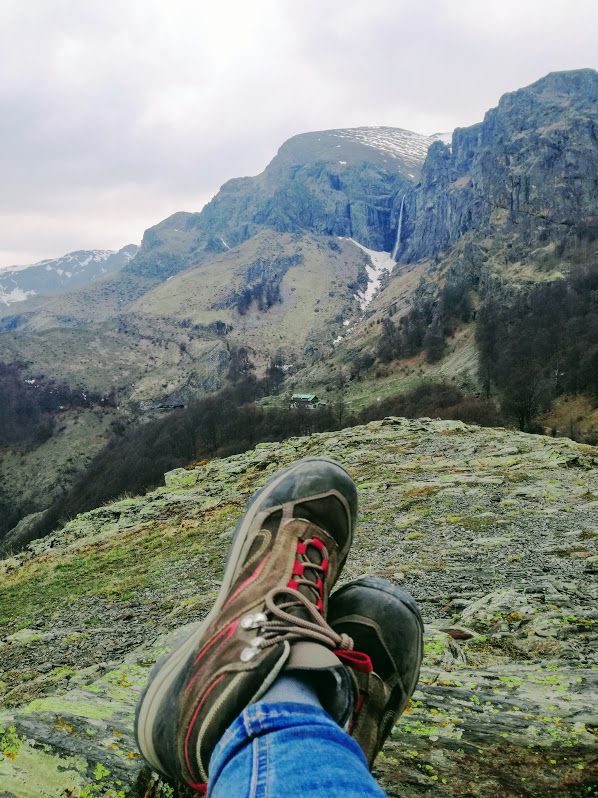
From here, the Rai Hut is only 1.5 km away, however it’s a somewhat steep hike to the top. The path still leads through the forest. There is a small peak right after the forest line that offers amazing views.
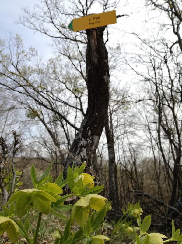
Spending the night in the mountains – Rai Hut
Rai Hut is a great place to spend the night at as it’s halfway through on the planned trip. It’s well kept, has electricity, running water, kitchen, heating and Wi-Fi. It has 120 beds and you can camp next to the Rai Hut for a lower fee.
Rai Hut is a very popular spot for hikers, so you should make a reservation if you plan to stay there during the summer. The price for one bed was 18 BGN at the time I visited.
More details about the Rai Hut here.
Rai Hut is just a few minutes walk away from Raisko Praskalo – the highest waterfall in Bulgaria.
You can get warm food and cold beers at the hut. The price is a bit higher than in a shop, but still reasonable. There is a designated area outside for barbecue, so you can also bring your own food and grill it over the campfire.
Day 2 – From Rai Hut to Karlovo
The first few kilometers
I left Rai Hut early in the morning and started my hike following the blue stripe markings. I passed by Raisko Praskalo once more and continued my trip across the mountains.
The view is spectacular as there’s no vegetation blocking the way. If you leave early enough, you will see lots of mountain goats and deer, calmly grazing around.
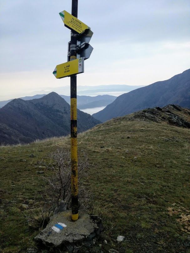
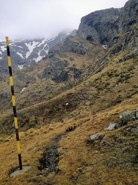
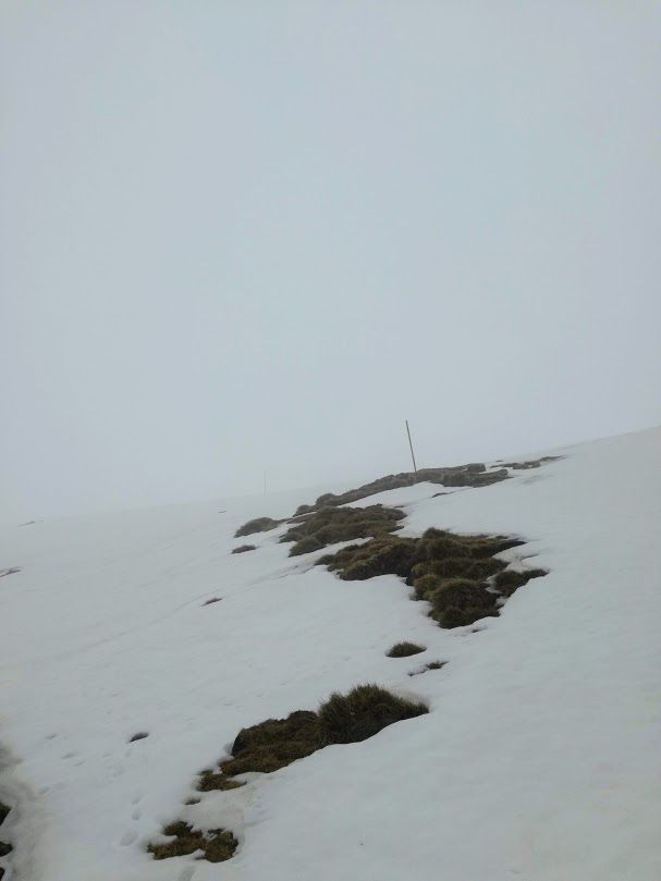
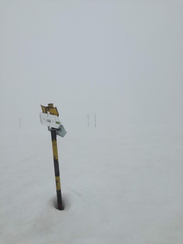
The trail is well-marked with poles and blue stripe markings painted over the rocks and at some points it has signs that let you know how much time it takes to get to your destination.
As I mentioned it earlier, I embarked on this journey in early April and there was quite some snow on the second day. It was supposed to take 4 hours to get to the Vasil Levski Hut, but apparently nobody has been on this trail for weeks and the snow set me back on my schedule a little bit. Thankfully, it only made the trip more beautiful and adventurous so I would absolutely recommend doing it even in these conditions if you have the right equipment and fitness level.
Crossing the snowy ridges of stara planina
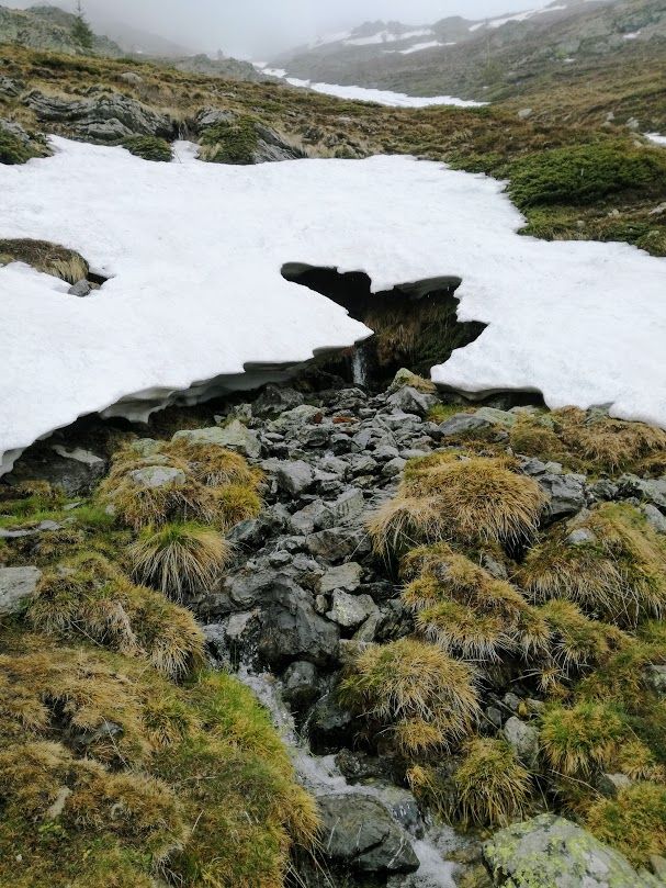
One hour away from the Rai Hut the trail started to ascend above 1600 m and that’s where the snow started to cover the trail.
The way is marked with poles, so it’s hard to get lost here even at this time of the year. It took me 4 hours to walk the next 5 km thanks to the untouched, old snow, but it was well worth it.
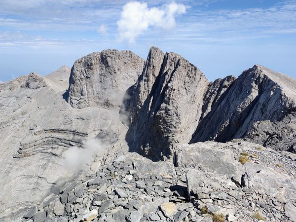
Once I got to the highest point of the hike (1882 m) where the trail crosses the one leading to Ravnets Hut and Botev Peak, the path was a lot better as someone has been on it in the last few days and it was downhill in deep snow. The Vasil Levski Hut is only about 1 hour away from this point.
Following the Stara river
The Vasil Levki Hut is a crossroad for some of the trails in Stara Reka Reserve. It has electricity, water, Wi-Fi and heating.
The closest town to Vasil Levki is Karlovo, about 4 hours away from the hut.
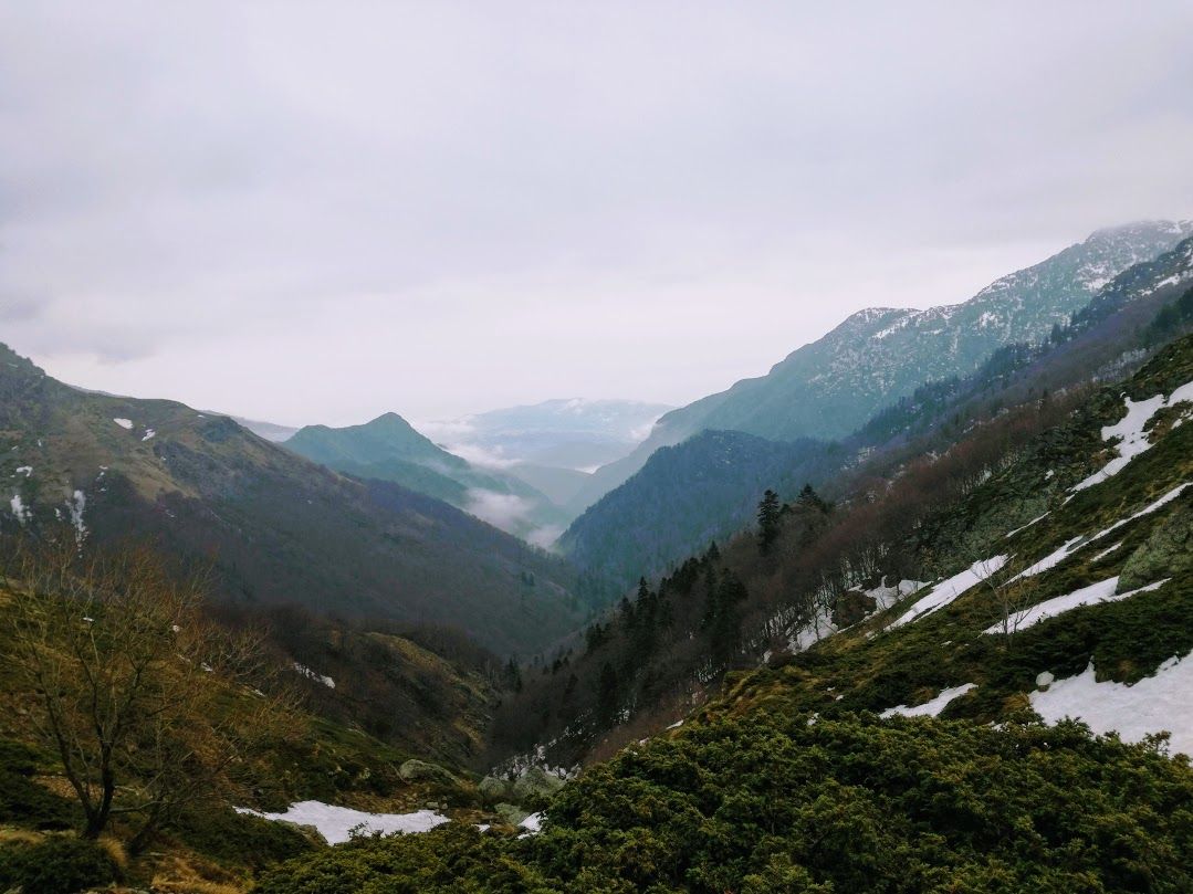
The trail from the Vasil Levki Hut to Karlovo is really easy and mostly downhill from here for the next 8 km.
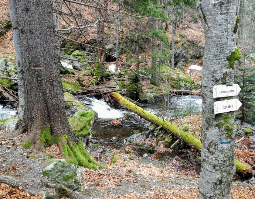
The trail follows the Stara River. The whole area is so humid that almost everything is covered in deep-green moss.
Descending to Karlovo on an uneasy path
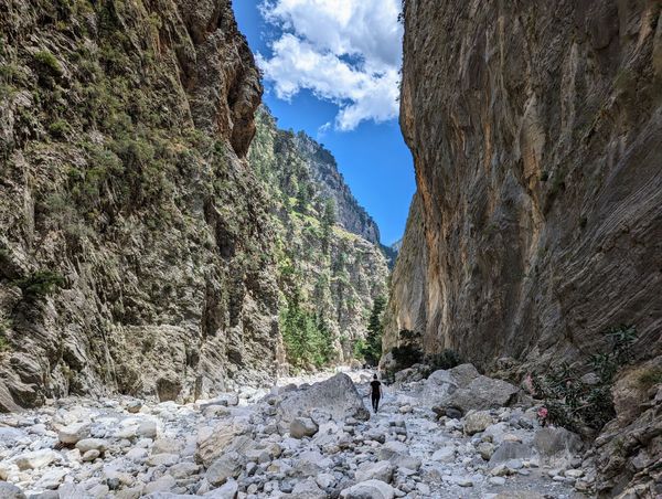
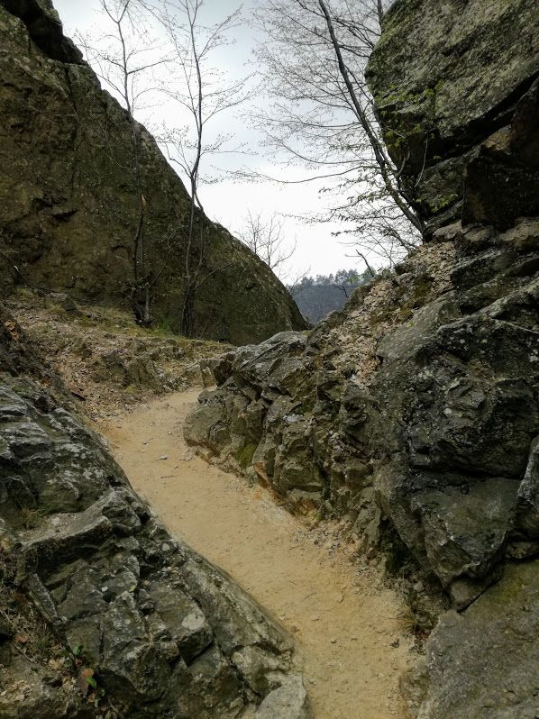
The last 4-5 km of the trail leads through bigger rocks and it’s not easy on the feet especially after such a long hike. The trail still rewards us with beautiful views of the gorge. At some point it leads up to the top of the cliffs. The path here is quite narrow, but there is a guard rail, so don’t worry if you have a fear of heights.
The path from the top is downhill again and it turns into a dirt road at the end. There is even a picnic table from where you can enjoy the great view over Karlovo.
The trail from here leads through a pine forest, it’s somewhat steep, but very short.
You can get down to the town in about 15 minutes and the train station is only 30 minutes away on foot.
Karlovo and the way back to Sofia
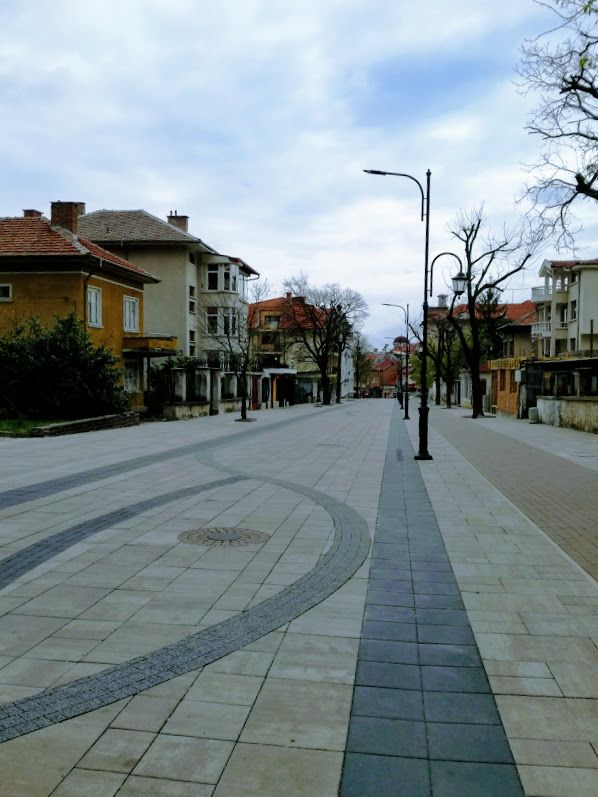
Karlovo is a really charming town. I was pleasantly surprised by the pedestrian street in the center and how beautiful and well-kept it was in general. There are shops, restaurants and cafes around. The train station is in the southern end of the town and the walk there was quite pleasant.
The train station itself isn’t so beautiful, but you can at least buy a ticket there. It has a small cafe where you can buy some food as well. The train ride back to Sofia takes around 2.5 hours.