Vârful Bucșoiu: the third-highest peak in the Bucegi
2492 m by a red-stripe route from Gura Diham: 8.5 km, 1583 m of ascent, six to seven hours. Exposed with chained sections, friable ground, and closed in winter.
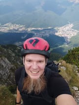
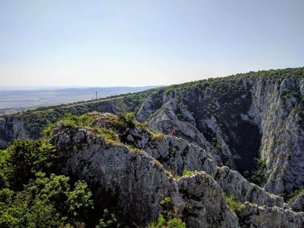
Vârful Bucșoiu — Bucșoiu Mare — stands at 2492 m and is the third-highest peak in the Bucegi. It is also one of the most spectacular viewpoints in the massif, both for the breadth of what you see and for the routes that climb to it.
From the summit you can reach Vârful Omu in thirty to forty minutes, which opens up several ways back down.
8.5 km · 1583 m up, 105 m down · 6–7 hours · Hard, strenuous, exposed
- Distance: 8.5 km
- Ascent: 1583 m up, 105 m down
- Time: 6–7 hours
- Waymark: Red stripe (bandă roșie)
- Difficulty: Hard, strenuous, exposed
- Season: Summer only — the route is closed in winter
- Route: Bușteni (Gura Diham) – Poiana Izvoarelor – La Prepeleac – Vârful Bucșoiu
Getting to the start
Train to Bușteni, then a short taxi to Gura Diham, 5 km out on asphalt with free parking at the cabana.
The route
Gura Diham to La Prepeleac
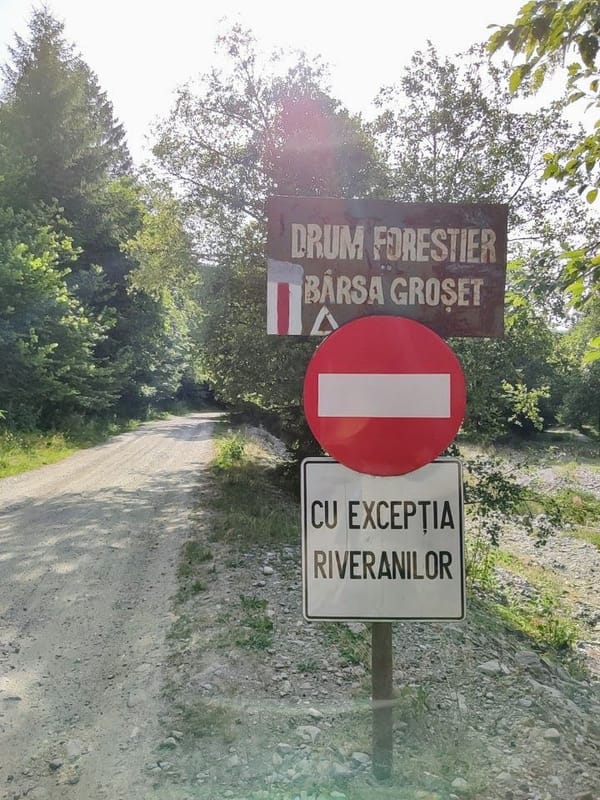
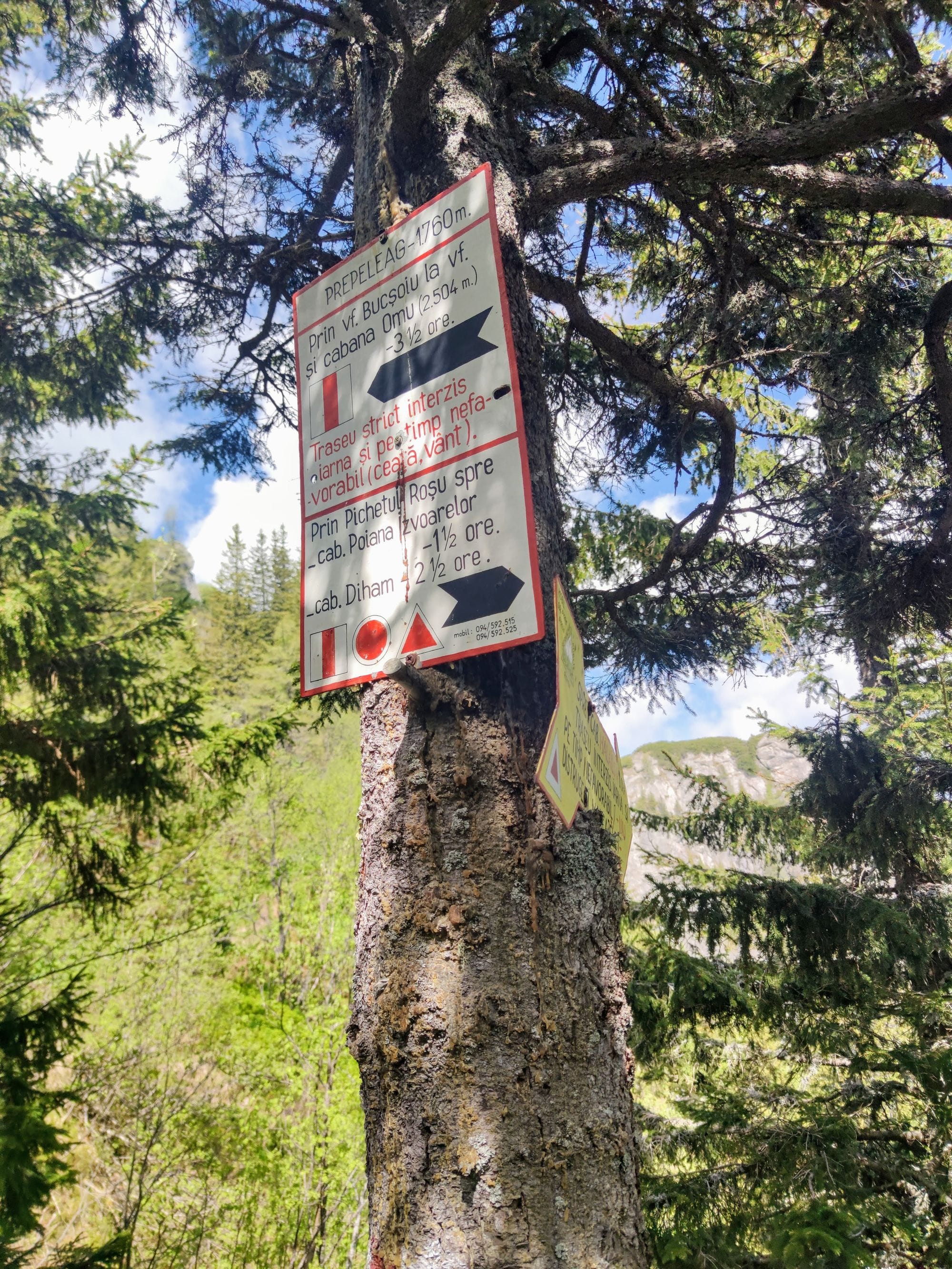
The red stripe climbs from Gura Diham toward Cabana Poiana Izvoarelor, and from Pichetul Roșu follows the Take Ionescu path up to La Prepeleac at 1760 m, where there are signposts and an information board. This section is moderate — a steady mountain path, nothing more.
La Prepeleac to the summit
At La Prepeleac the Bucșoiu route turns left, leaving the red triangle that runs on to Cabana Mălăiești. Keep following the red stripe.
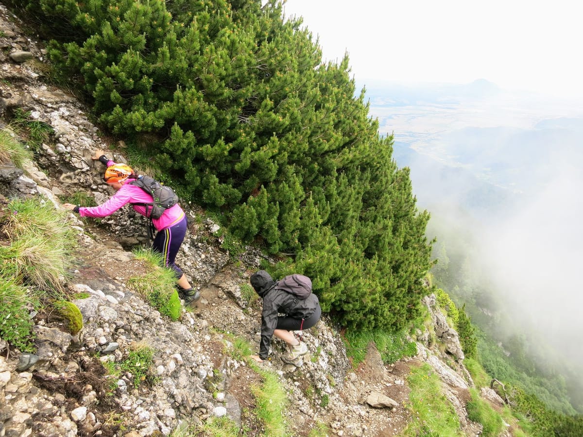
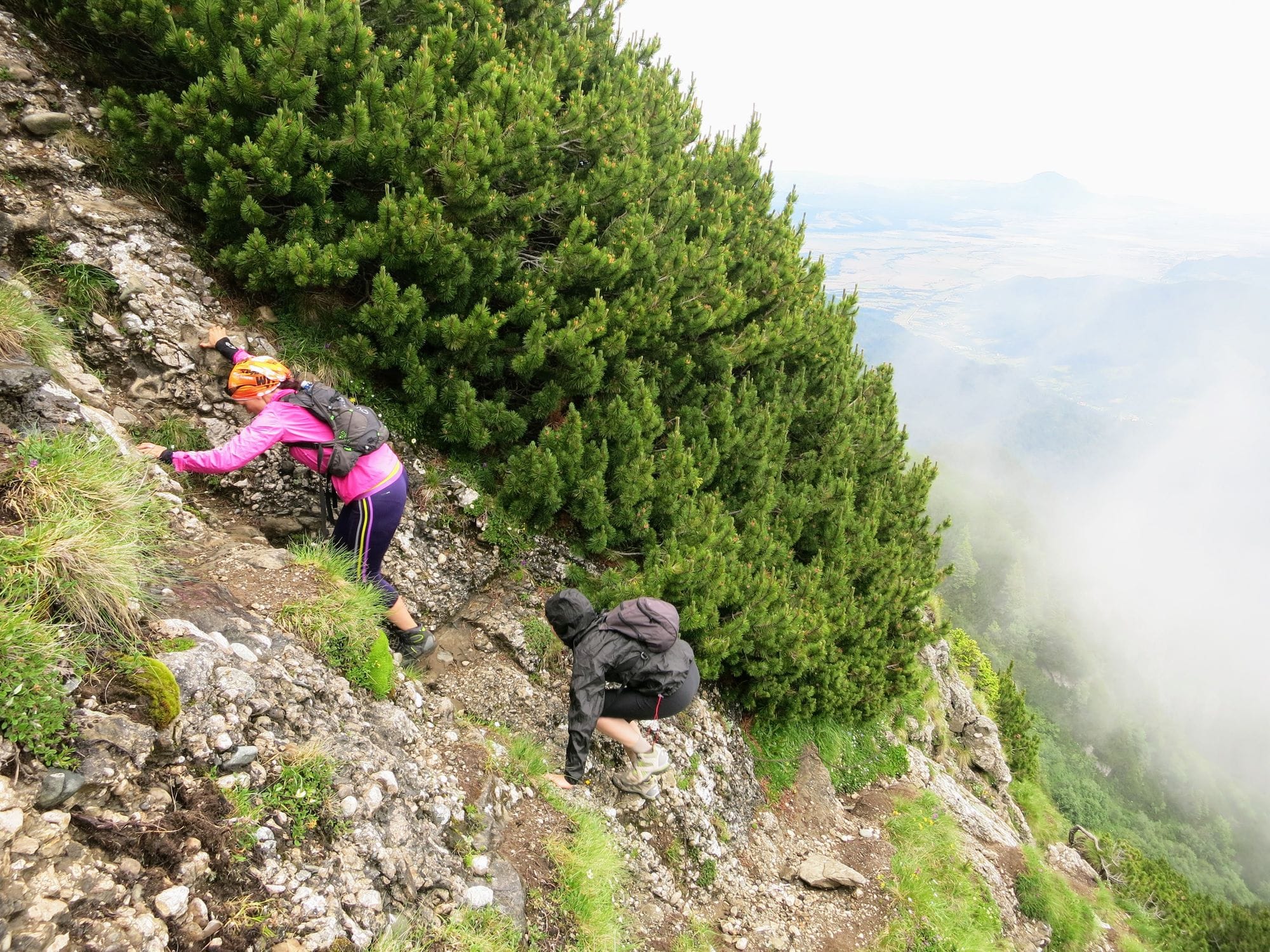
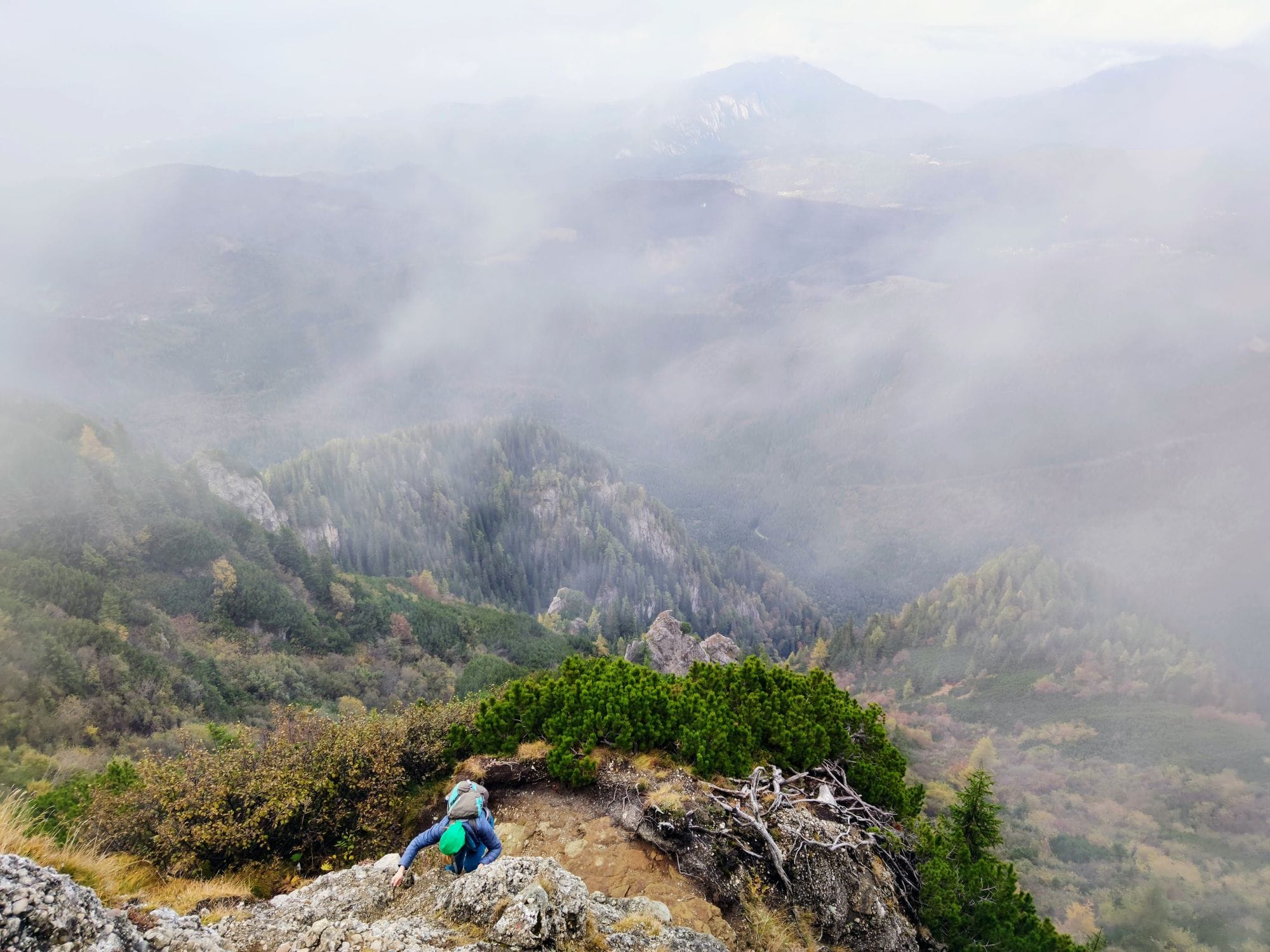
From here it changes character. The path is narrow and broken and climbs steeply through a corridor of dwarf pine. The ground is friable, and in places you can lose the waymarks. The exposed sections are protected with chains. This stretch is known as Drumul lui Deubel, Deubel’s Road.
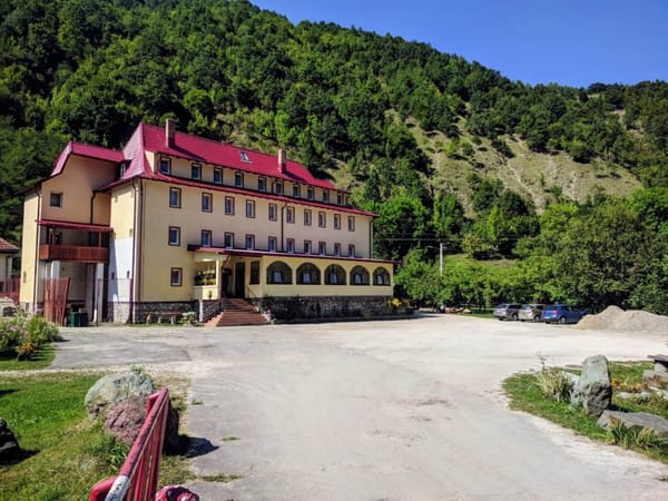
Cabana Poiana Izvoarelor, which this route passes, is closed indefinitely — do not count on it for water or shelter.
Getting down
Most people continue to Vârful Omu, half an hour on from the summit, and descend from there — Valea Cerbului back to Bușteni, or the Mălăiești valley north. Both are long. Plan the descent before you start the climb.
Part of our guide to hiking from Bușteni.
Looking for the Romanian version? This route is written up in full, with more photos and a GPS track, at greuladeal.ro.