Băile Tușnad and Lacul Sfânta Ana: a 15 km circuit
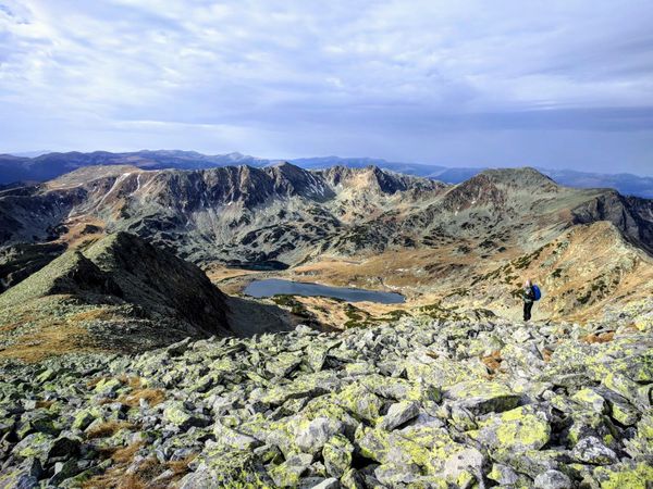
Romania's only volcanic crater lake, on a 15 km circuit with 849 m of ascent from a spa town on the Olt. Just under four hours by train from Bucharest; the circuit begins in the town.
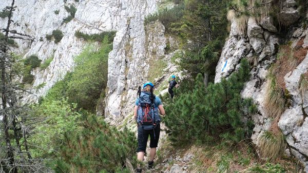
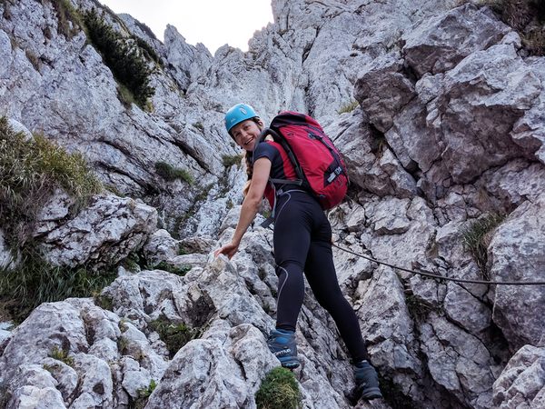
A circuit in the Trascău mountains: up the exposed Brâna Caprei ledge on cables, through Cheia village, then back down the gorge wading the stream. Five to six hours, and difficult.
A limestone gorge protected since 1938, as a 5 km circuit in about two and a half hours: cables and bridges along the streambed, then a steep climb onto the rim.
The main crest is 93 km with about 5500 m of ascent, and forms part of the E8 path from Ireland to Bulgaria. An account of 73 km of it in 48 hours.
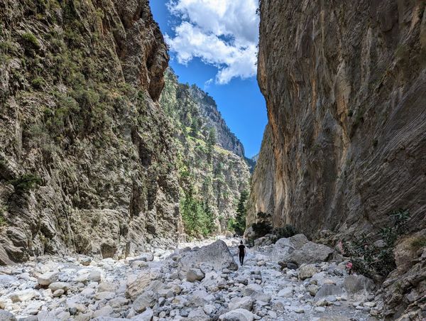
How to reach the Samaria Gorge by public transport, Samaria Gorge visiting hours, and other important tips for the hike.
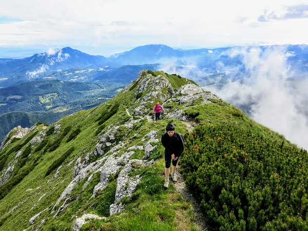
The Brâna Caprelor route begins at an elevation of 1510 meters near Diana Refuge and climbs through difficult and steep terrain to the ridge of the Piatra Craiului Mountains [https://hikingbeast.com/northern-piatra-craiului-ridge/]. We hiked the Brâna Caprelor trail in June 2022, taking the following circuit from
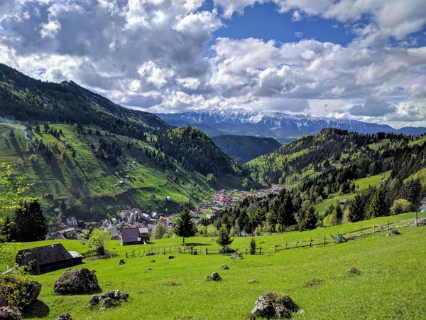
Explore the scenic trails around Moieciu de Sus near Bran Castle. A moderate hike that offers panoramic views over Piatra Craiului Mountains and the serene beauty of the Bucegi Mountains.
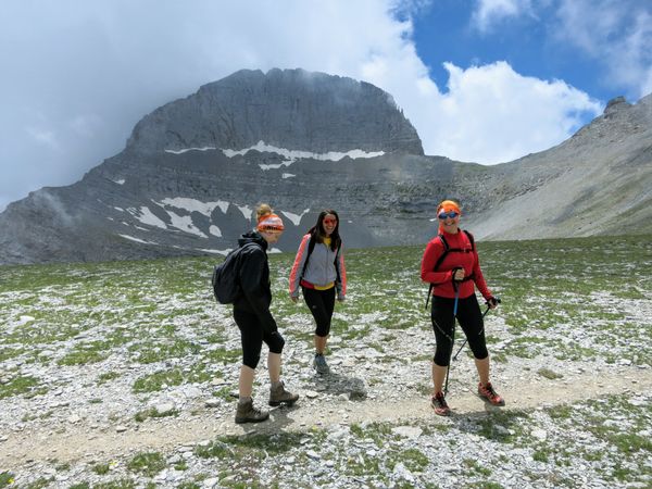
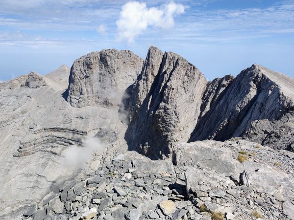
This is a guide on how to climb Mount Olympus in Greece. Continue reading to find out the fastest way to reach Mytikas and how to get the most out of your hiking trip to the highest mountain in Greece, in two or more days. I’ve always been a
A limestone ridge in the Căpățânii mountains, as a 17 km circuit from Cabana Cheia in ten hours. The crest is waymarked but not certified, and the exposed sections have no chains.
5.2 km and 955 m from Izvorul Muntelui to Cabana Dochia in about three hours, then 45 minutes on a red stripe to the 1904 m summit. No straightforward public transport.
The approach to Mălăiești from the north: about 10 km and 1000 m of ascent to a hut at 1720 m in a glacial valley. Reachable from Brașov by bus or train in half an hour.
30 km and 2189 m of ascent from east to west across the Bucegi and down to Bran. Ten hours with a day pack, done from Bucharest and back by public transport.
2492 m by a red-stripe route from Gura Diham: 8.5 km, 1583 m of ascent, six to seven hours. Exposed with chained sections, friable ground, and closed in winter.
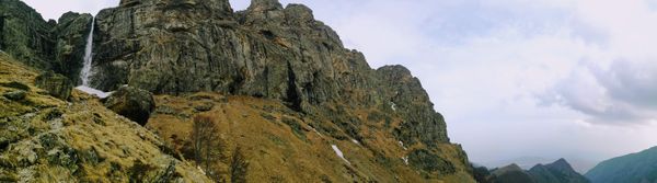
Seven walks further afield: a volcanic crater lake, two limestone gorges, the Făgăraș ridge and the waterfall with the longest free fall in Romania, with travel times from Bucharest.
4.5 km, 400 m of ascent and about two hours on a blue triangle, from 980 m to 1320 m. Easy apart from the first twenty minutes, which has a name in Romanian.
Two kilometres and about an hour from the cable car station to a 15-metre waterfall at 1055 m, on a wide path with red dot waymarks. Reachable on foot from the railway station.
Eight day walks up the Prahova Valley, all reachable from Gara de Nord by train. Distances, ascent, difficulty and the transport detail for each.
Four ways from Bușteni up onto the Bucegi plateau, from the cable car to the chained ascent of Jepii Mici, plus eight walks from the town with distance, ascent and difficulty.
Eight walks within reach of Brașov, with distance, ascent and difficulty for each, and how to get to every trailhead by train, bus or taxi. Includes seasonal conditions and local hazards.
On September 15, 2023, we embarked on a day hike from Prionia to the peak of Mytikas, the highest point of Mount Olympus in Greece. We ascended Mytikas through the Louki Couloir, then continued on to Skala Peak and Skolio Peak. We returned to Prionia, concluding our hike 12 hours